

On Friday, July 26 2002 after a final breakfast at the Gasthof Lamm, we piled into our rental car (which had been sitting the entire time we were at the conference) and headed for Innsbruck where we had reservations at the Innsbruck Hostel. Like in Switzerland, we took lesser highways almost the entire trip so that we could enjoy the spectacular scenery. A map of the route is provided for reference; sites of photos in ().
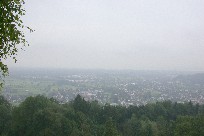
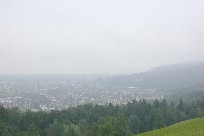
(A) The Rhine Valley is barely visible as we left it heading south and east on Route 200. The Bodensee is shrouded in mist in the distance and in the 2nd photo, the far west end of Bregenz can just barely be seen.
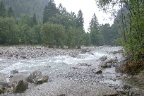
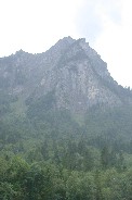
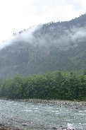
(B) Some of the lovely scenery along the Bregenzer Ach just north of Au on Route 200.
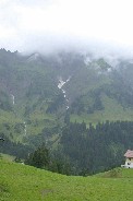
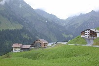
(C) The green of the mountains is not dulled by the low clouds west of Schrockert on Route 200. A trace of snow remains in a crevice at the end of July in center of first photo.
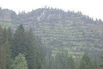
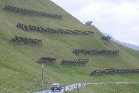
(D) Looking through her camera's telescopic lens, Kitty was able to tell that the strange appearance of the mountain in the left photo is created by rows of snow fences. The size of them was apparent once we got much nearer; and they are made of steel beams.
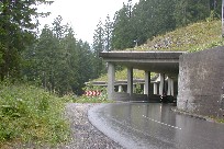
(E) Many of the tunnels we travelled through were of this type which still provided a view of the spectacular scenery.
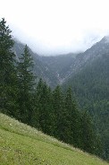
(F) Just another gorgeous view; along Highway 198.
(G) We stopped and explored a logging road area and a very interesting tunnel north of Bschlabs on the secondary highway that runs south from Elmen to Imst. The "tunnel" turned out to be a covered bridge over a gorge down the mountainside and the loggin road was the where the old road went prior to the bridge being built.
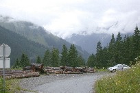
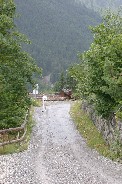
We ate our lunch in the car while a few sprinkles fell. By the time we finished, it was "dry" and we left the car parked on the pull out while we explored the region, off limits to vehicular traffic.
This covered bridge was unexpected and quite fascinating; we suspect it was done to protect vehicles from falling rocks. The door Tom(Paul) has opened below probably serves as an escape route if caught inside.
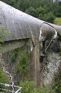
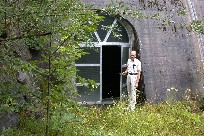
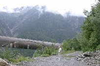
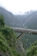
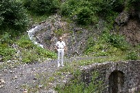
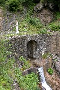
The road we walked on approaching the covered bridge appeared to be the now abandoned original mountain road. The waterfall, which added a nice visual effect, is probably a real gusher with the spring melts.
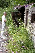
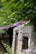
We don't know what this old building once was, but the flowers growing around there now were very colorful and interestingly shaped.
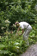
Tom (Paul) made a great find of blackberries and collected what he could safely reach, leaving the rest for the wildlife.
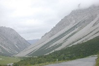
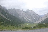
(H) These gravel mountains, southeast of Boden (a few miles beyond the covered bridge above) are quite a sight and in complete contrast to the many lush green areas we drove through. Our elevation here was almost 1900 meters (~6200ft) and look at how high the mountain tops still are!
 |
 |
This website is not copyright because its creators do not agree with government copyright laws. Readers are welcome to copy and distribute any text within the site as long as they do not modify the text and they provide a link to this website as its clear source.